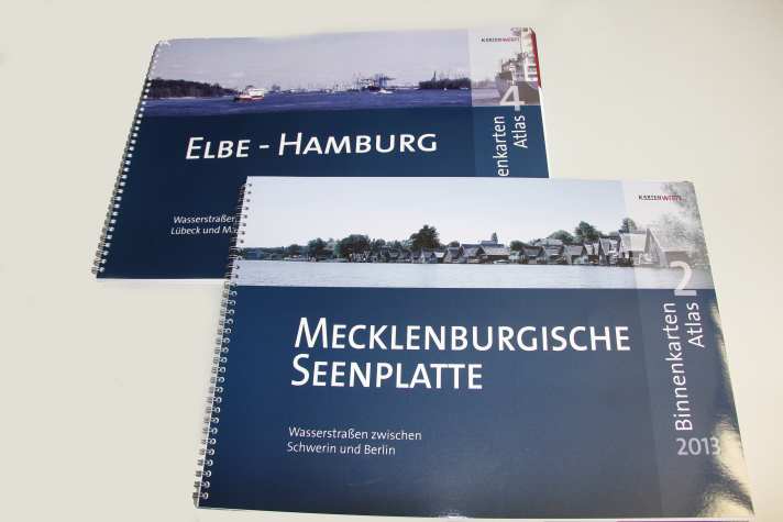
The newcomers to the highly competitive market started with inland map sets. There are six of them: "Mecklenburg Lake District", "Elbe-Hamburg", "Berlin and Brandenburg", "Mittellandkanal" and now the new "Oder and Haff with Peene" and "Rhine and Ruhr". The maps are in a large ring binder format measuring just over DIN A3 and are supplied with a splash-proof cover and a free app.
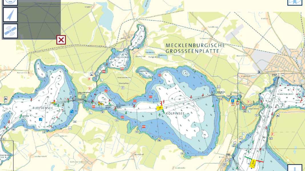
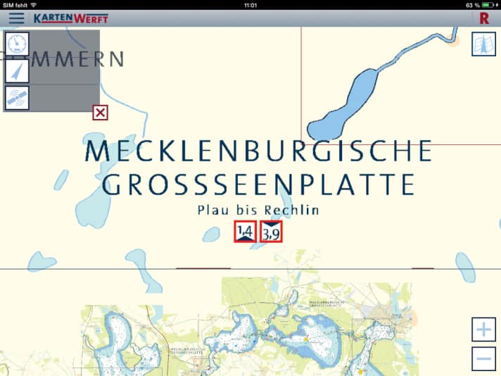
The latter works like this: Anyone who buys a paper set will find a registration number in it, which they use to log in to the free app, which unlocks the map set. It is a raster map app, which means that the scanned paper map is used; if you zoom in too much, the entries become blurred. In terms of character, it is more of a viewer app; it does not include extensive trip planning functions. However, speed and course are displayed, making it suitable as a simple plotter, provided the device used has GPS reception. The app is available for both Apple and Android devices, and it works on smartphones as well as tablets.

On the other hand, the charts score points with a good overview, compact area information and some good ideas, such as the representation of the shallowest water depths and lowest bridge heights for popular sections of the route in two simple but practical icons. The harbour information is brief, but contains the usual icons for the service as well as the water depths, but no plans.

The Flensburg-based company is planning the first map sets for the coast next year and wants to start with the German Baltic Sea. A trial area, probably the Flensburg Fjord, will be activated for the app in the next few weeks. Users will then be able to try it out with the app free of charge.
The card sets cost 39.90 euros, the use of the app is included free of charge with the purchase of the paper set. More information on the website of Card yard.
